Team: • peg office of landscape + architecture, archifreese
Location: Dean’s Alley Meyerson Hall Weitzman UPenn Philadelphia,PA
Program: Installation, Design Research, Digital Fabrication
Categories: Installation, Design Research, Digital Fabrication, Parametric Design, Design Research
Year Built: 2012
© archifreese © peg • office of landscape + architecture
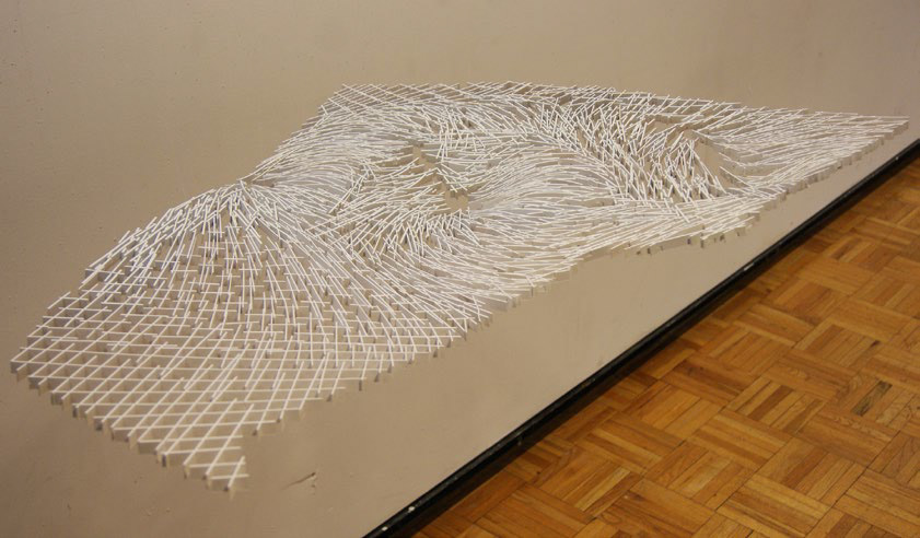
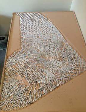
A studious project begun by a shared interest in the graphic communications and notational languages of cartography, landscape architecture, architecture and surveying.
These languages have been developed by a few significant figures throughout history who established the standard of translation, particularly compelling is the story of topographic descriptions of terrains above sea level and the subaqueous terrains below sea level.
The conventional method of contouring terrains at one and two feet intervals is not that old a system and was born of available technology informing practical techniques.
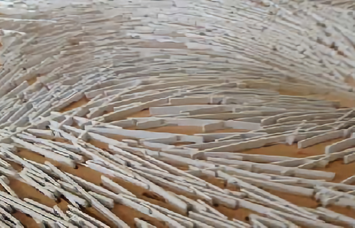
Prior to the contour there were the hachures; a select group who dutifully depicted terrains in plan view from the set of measures the surveyor would provide and then they would draw lines in the eight major directions of a compass.
This logic of a simplified set of directional indicators with a numerical height value drawn next to it was passed onto meteorology, which is where the contour and the hachures directional lines combined to inform us about the height, direction temperature, humidity and velocity of wind.
This created a vocabulary for identifiable weather patterns and geological phenomenon,: whirlpool, tornado, hurricane, earthquake, tsunami, blizzard storm cells and hail became understood through a universal language of notational devices and graphic communications standards.